

From inspection to insight.
InnoSpector brings the drone and survey software into one inspection workflow.
InnoSpector
InnoSpector industrial inspection drone for underground mines, ore passes and confined spaces. GPS-free navigation, 3D LiDAR scanning and video.
- GPS-free SLAM navigation
- LiDAR scanning and inspection video
- Mines, ore passes and confined spaces
InnoSpector Workflow
Review point clouds alongside inspection video. Find the area you need and return to the recording with spatial context.


InnoSpector Sim
A training environment for drone control: manoeuvres and inspection scenarios are practised on the ground, so the first flight on site is calm and predictable.
Bucket and face volume system
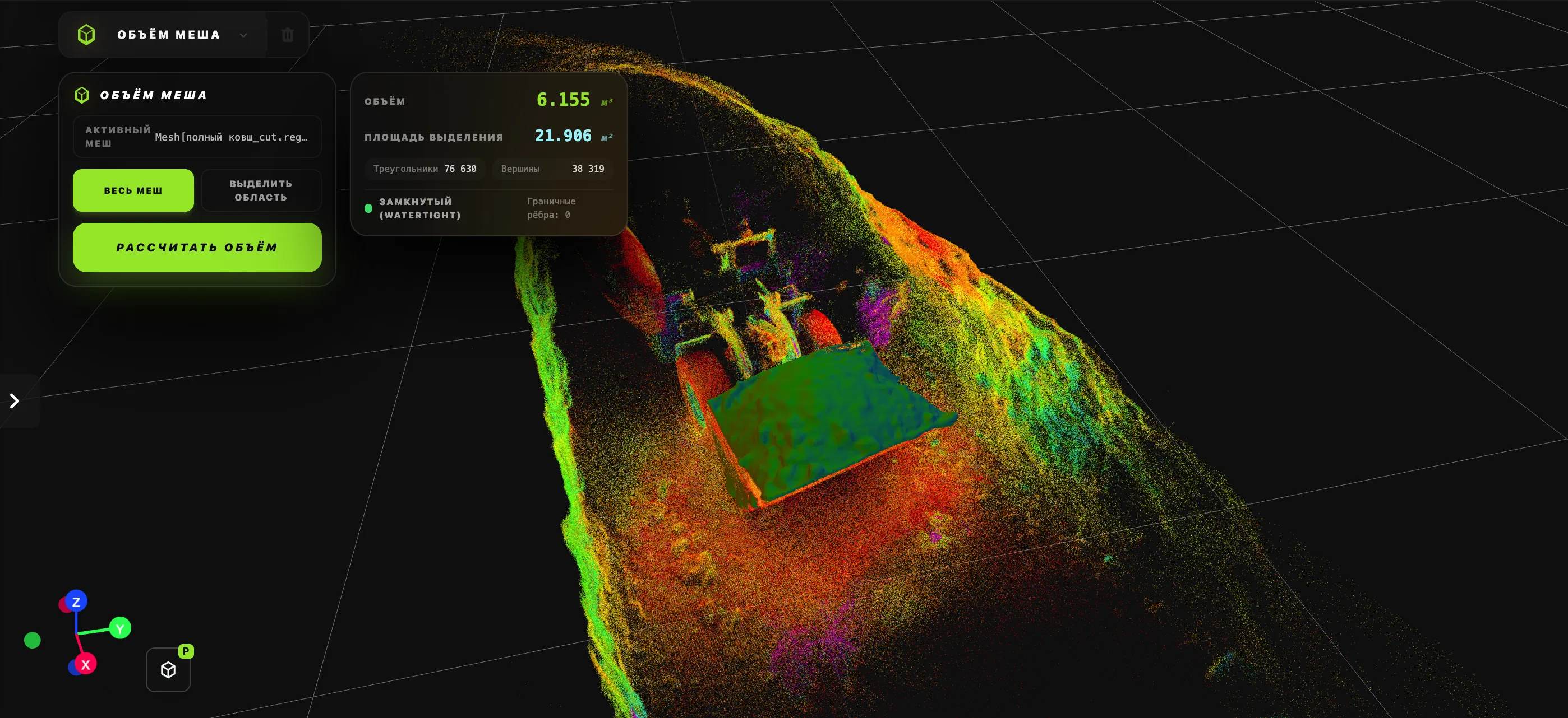
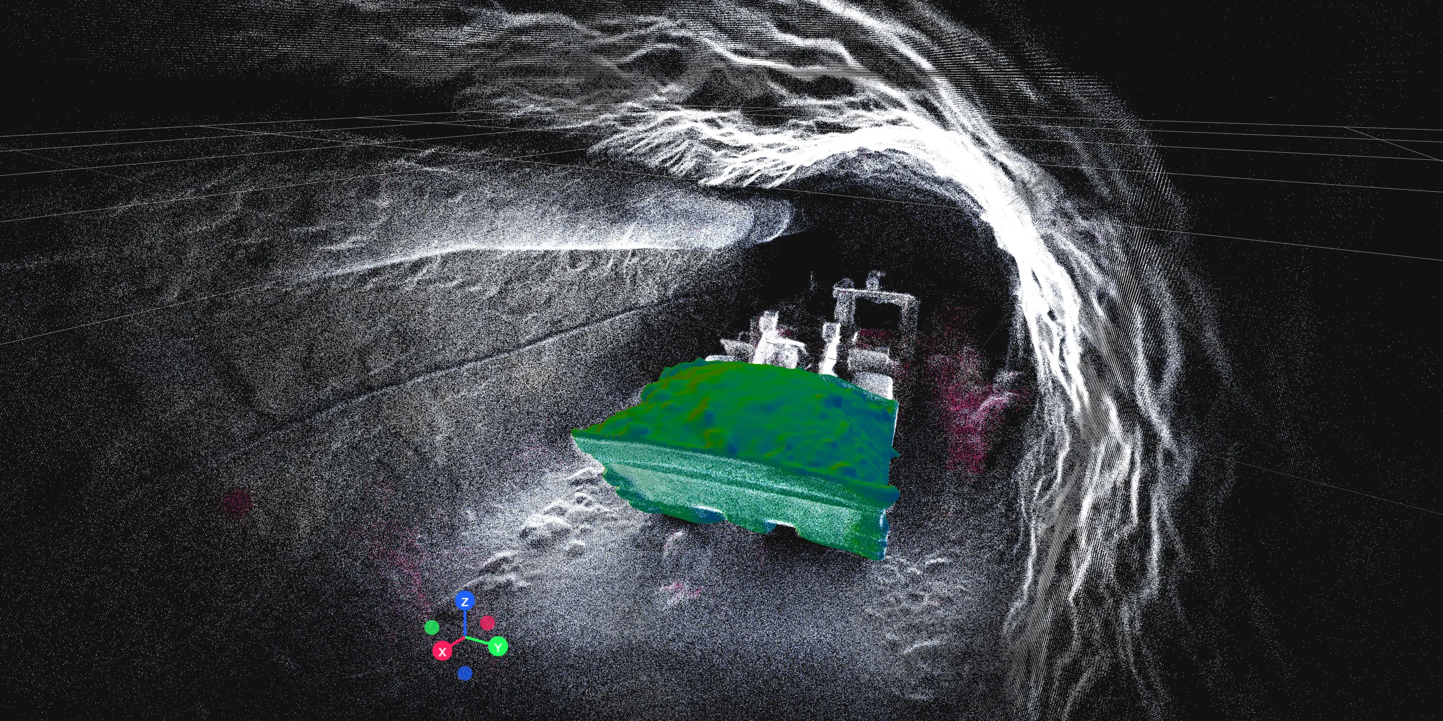
Bucket and face volumes are computed from LiDAR scan data: the point cloud and watertight 3D mesh give accurate measurements of excavations and rock mass right on site.
Configuration and pricing
Request a project quotation. Configuration, software scope, integration, training and support are agreed individually.
Company information and terms