

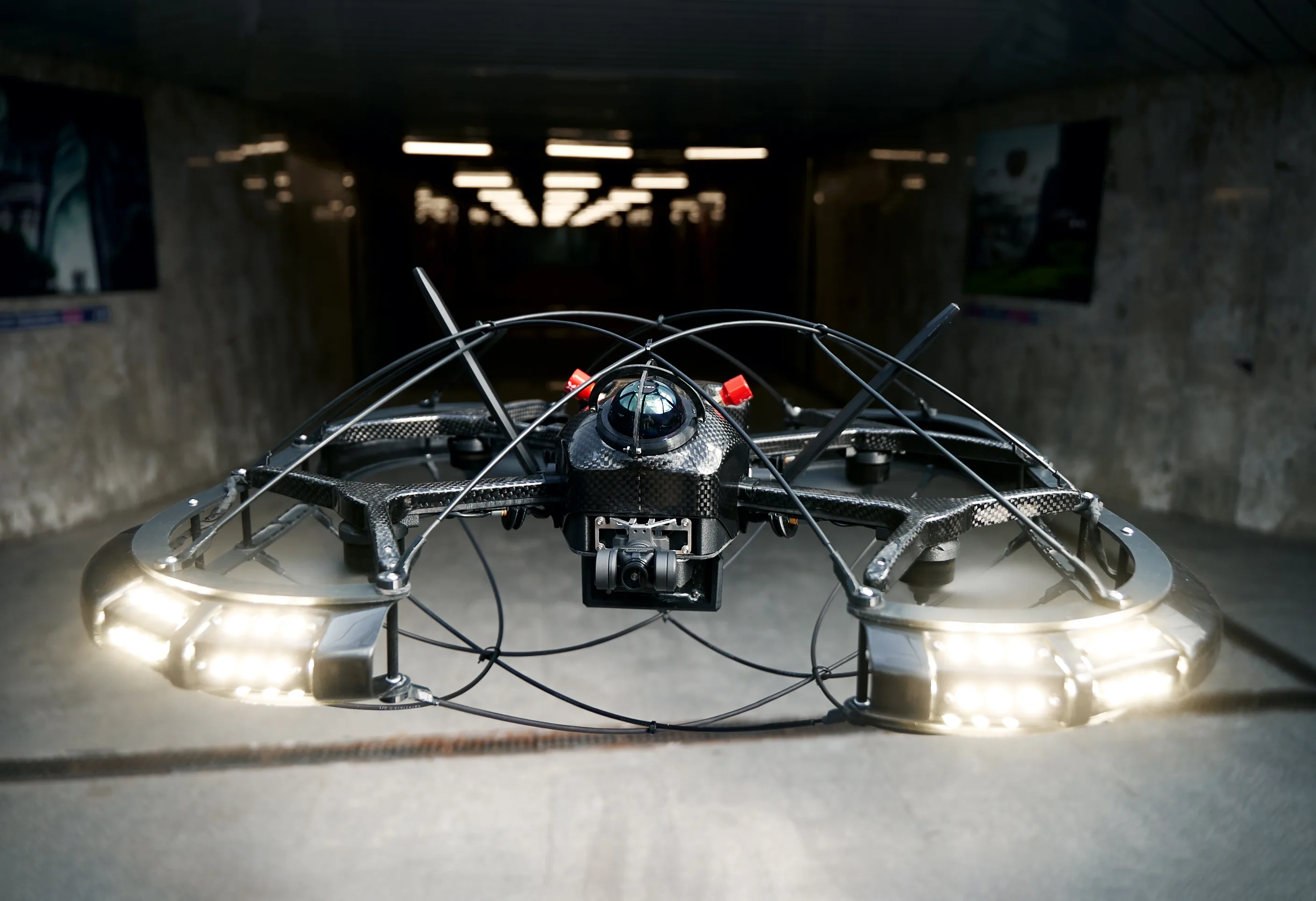
How the drone works
In its base configuration, the industrial drone consists of a LiDAR, a 4K camera on a gyro-stabilised gimbal and an LED lighting system. The drone is equipped with SLAM (Simultaneous Localization and Mapping) — a method that lets autonomous devices determine their position and build a map of their surroundings in real time. This allows the drone to fly up to 1,000 m away from the operator without GPS, avoid obstacles and return to base if the link with the controller is lost. The system also includes an AI service developed by our partner, Neimarker. The algorithm instantly analyses the collected data and reports detected defects to the operator: destroyed joints, corrosion damage, cracks and more. In total, the drone identifies 75 types of structural damage. The drone runs on software created by Innopolis University specialists: from LiDAR point clouds, the system builds detailed 3D maps of industrial assets. The aircraft weighs less than 3 kg, can stay airborne for up to 23 minutes and operates in temperatures from −20 to +55 °C. It has an impact-resistant body and is protected against dust and moisture to the IP53 standard. “Previously, inspecting weld integrity while building industrial columns required more than two weeks of scaffolding alone, not counting the inspection itself. The industrial drone surveys the infrastructure within an hour — and it is 100% safe for the inspector, since the survey is remote, via a robotic system.” — Dmitry Devitt, Head of the Unmanned Aviation Systems Centre, Innopolis University
Field results
The team ran dozens of tests on real sites: mines, industrial structures and collectors of oil, chemical and mining-metallurgical companies. They were the first in the country to survey vertical ventilation shafts of the Moscow Metro. Every test confirmed the system’s readiness for the harshest industrial conditions. With the drone: inspection takes up to 90% less time; monitoring costs fall by up to 85%; data coverage and quality improve by up to 60%; personnel risk is reduced by 100%. “Unlike conventional camera quadcopters, we created an entirely different class of devices — an autonomous mobile 3D scanner with intelligent data-processing algorithms. There are only four commercial analogues of this level in the world.” — Dmitry Devitt, Head of the Unmanned Aviation Systems Centre, Innopolis University
An editorial summary of the linked publication. Trial results refer to the conditions and date reported by the source.